GEOTIFF to GBR Conversion: FAQ
What are GEOTIFF files?
GeoTIFF (.geotiff) is a specialized raster image format that embeds geographic metadata directly into the file, enabling accurate geospatial positioning. It's commonly used in cartography, environmental analysis, and satellite imaging to associate each pixel with real-world coordinates. The format supports high-resolution imagery and is compatible with most GIS software.
What are GBR files?
GBR is part of the Gerber group of formats — a set of standardized extensions used in the printed circuit board (PCB) industry. Gerber files include 2-D representations of various PCB images, such as copper layers, solder mask etc. They can also describe the electrical connections on such boards, or drilling and milling info associated with them. Similar formats include GBS, CMP and SOL.
Can reaConverter convert GEOTIFF to GBR?
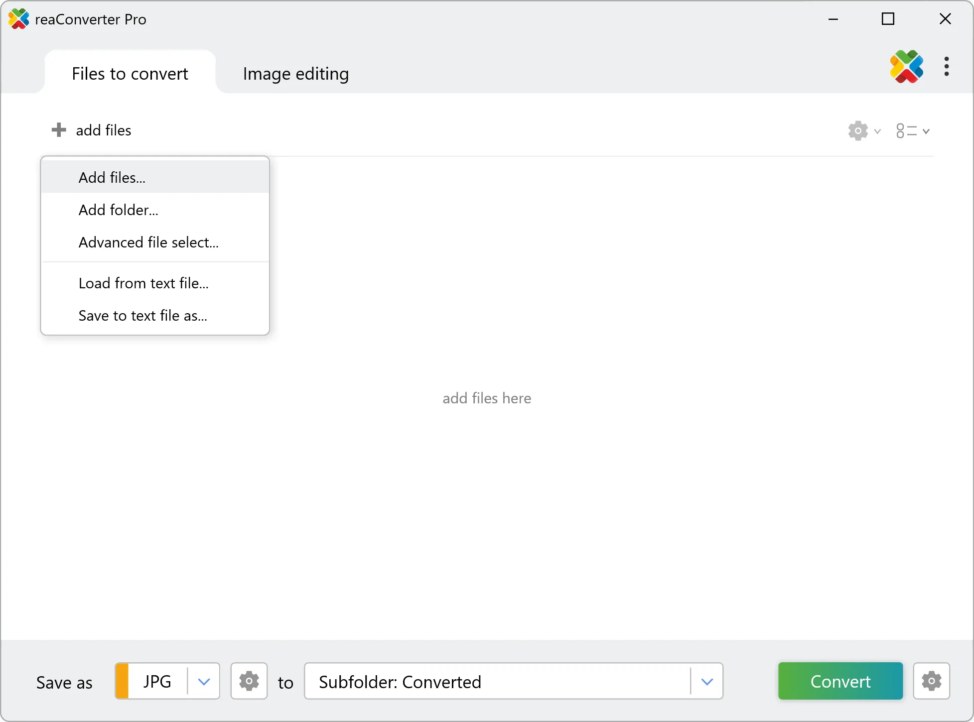
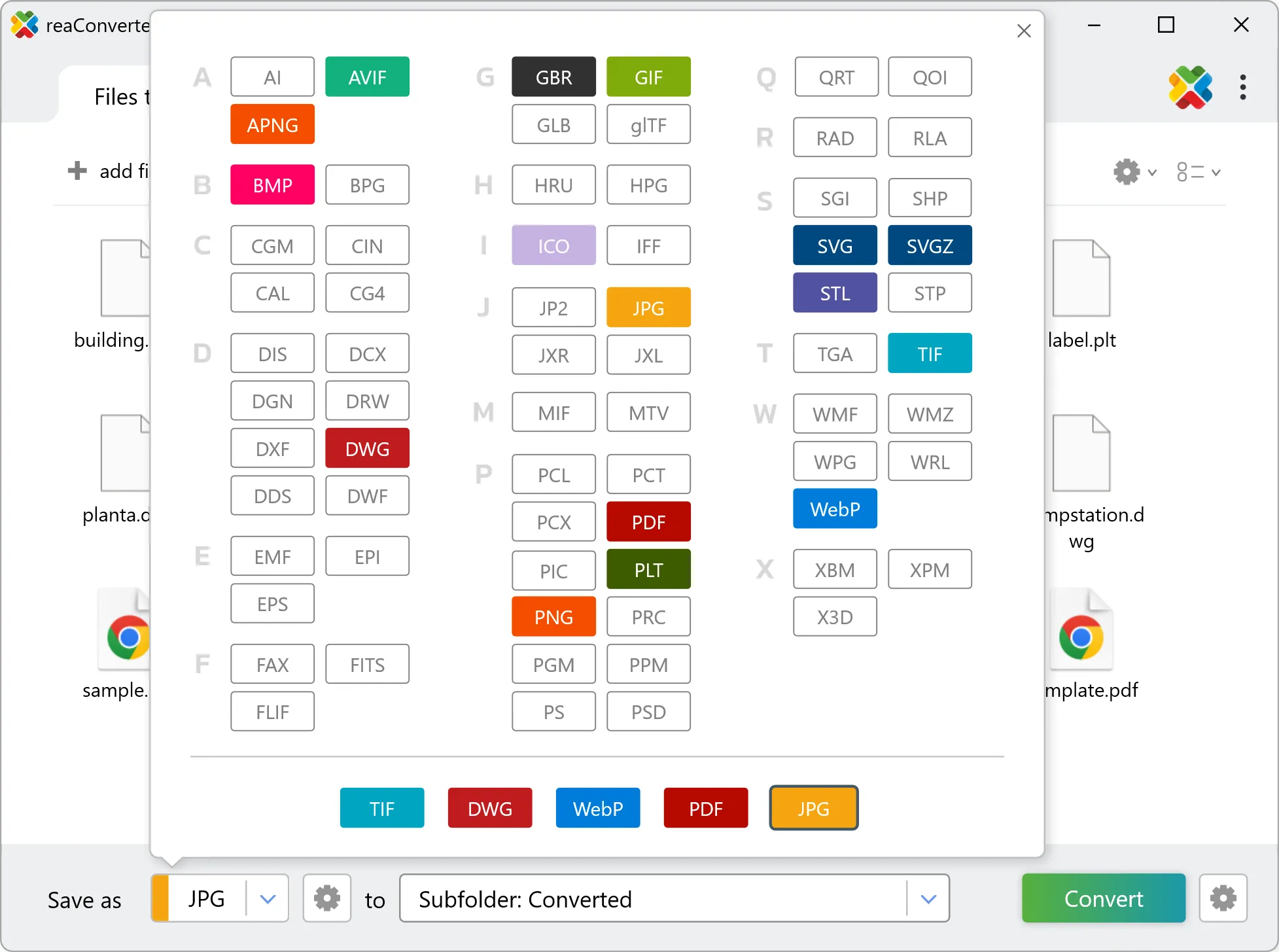
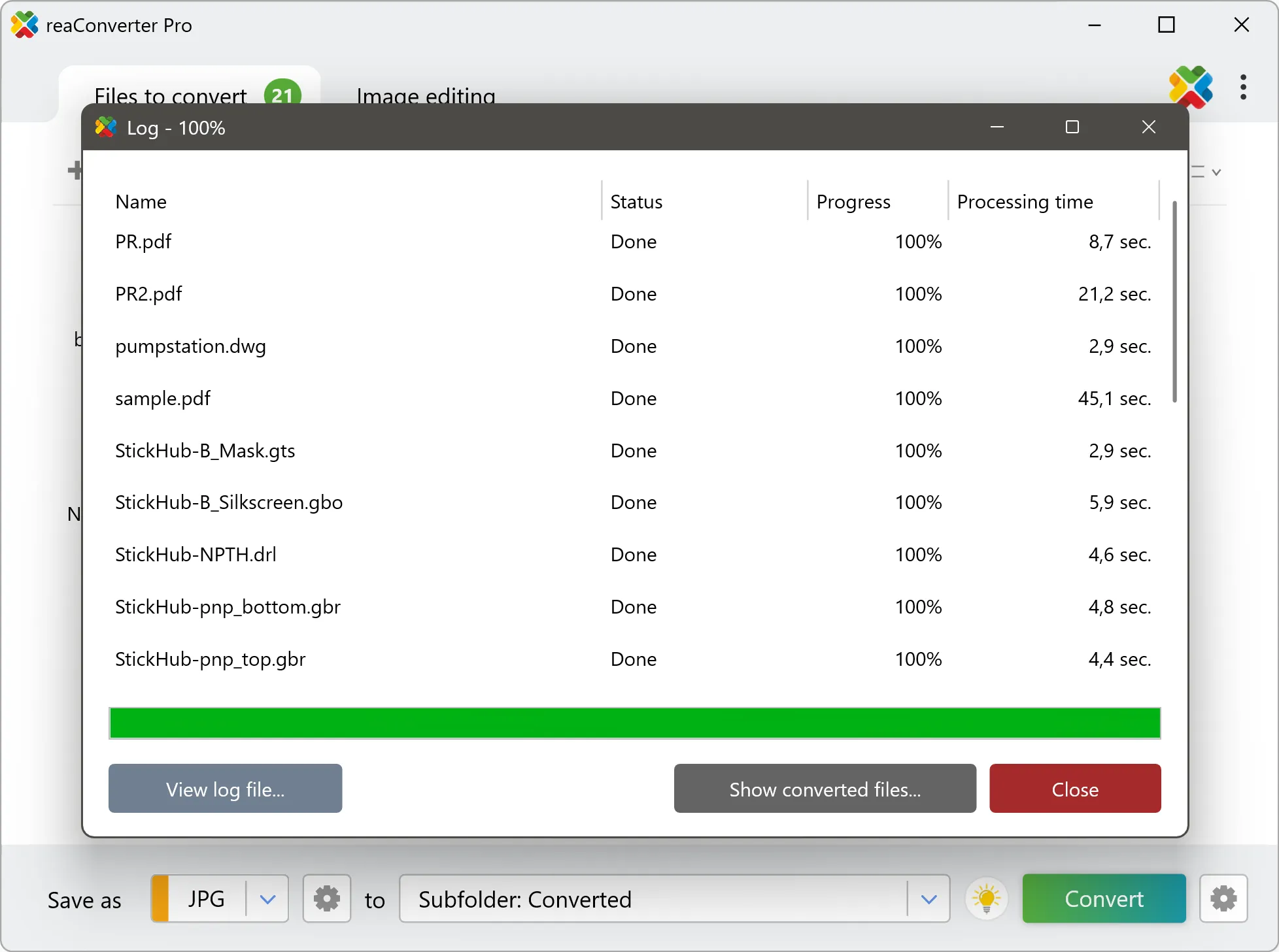
Yes! reaConverter instantly converts .geotiff to .gbr with perfect quality preservation. With its batch processing feature, you can convert multiple files at once in just a few clicks. You can even convert images directly from Windows Explorer using the right-click menu — fast and convenient.
Can I convert GEOTIFF to GBR online?
If you only need to convert a few GEOTIFF files to GBR format, feel free to try our free online free online GEOTIFF to GBR converter — perfect for small batches with no installation needed!
How can I turn GEOTIFF files into GBR on my computer?
The best way to change GEOTIFFs to GBRs on your PC is to install a quality piece of software, such as reaConverter. This software is extremely efficient in managing a wide range of batch files conversions, including conversion from GEOTIFF to GBR.
How can I automate GEOTIFF to GBR files conversion?
reaConverter supports all the most useful automation features such as right-click сonversion and Watch Folders for the most efficient automated files conversion in any software of this type.
Is there a way to convert GEOTIFF files to GBR using the command prompt?
reaConverter provides full access to all its features via Windows command line, including a high-performance command-line geotiff to gbr converter for batch processing.
What else can I do with reaConverter?
Convert DICOM filesResize pictureConvert PDF filesWatermark imagesCopy metadata (EXIF, IPTC)