GEOTIFF to DRW Conversion: FAQ
What are GEOTIFF files?
GeoTIFF (.geotiff) is a specialized raster image format that embeds geographic metadata directly into the file, enabling accurate geospatial positioning. It's commonly used in cartography, environmental analysis, and satellite imaging to associate each pixel with real-world coordinates. The format supports high-resolution imagery and is compatible with most GIS software.
What are DRW files?
DRW stands for "Drawing" and represents a vector graphics format associated primarily with Corel Draw, but also with other advanced graphics design programs, including Microsoft Picture It!, Paint Shop Pro, Micrografx, Igrafx etc. The DRW format is supported both on Windows and Mac applications (on MacDraw and AppleWorks) and stores images and drawings constructed with lines or paths, instead of dots.
Can reaConverter convert GEOTIFF to DRW?
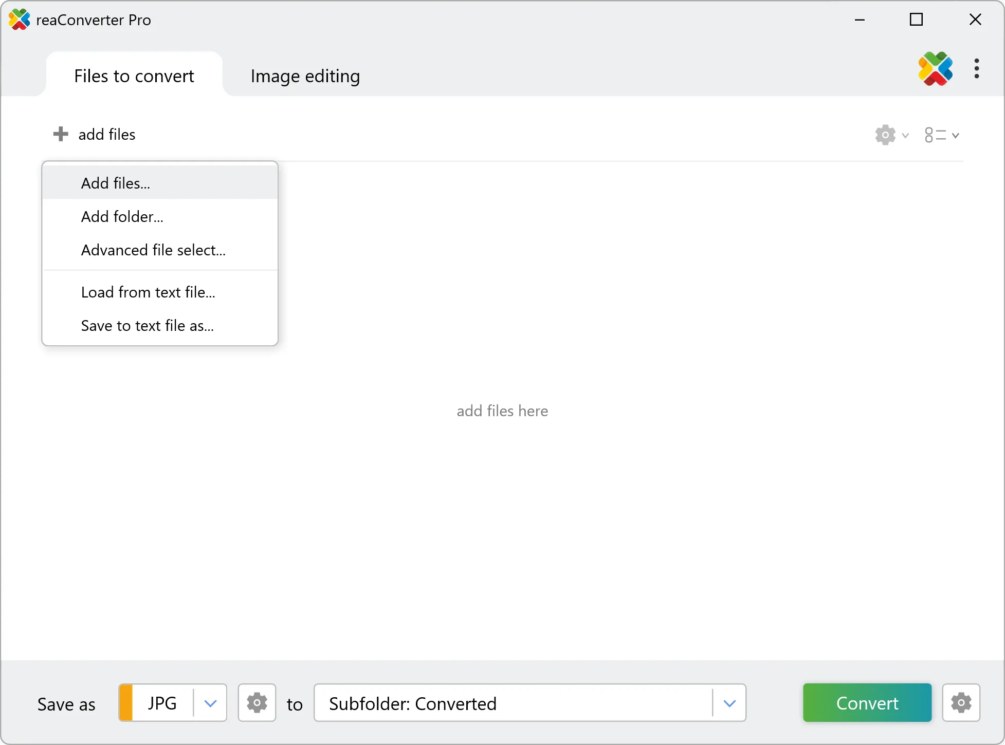
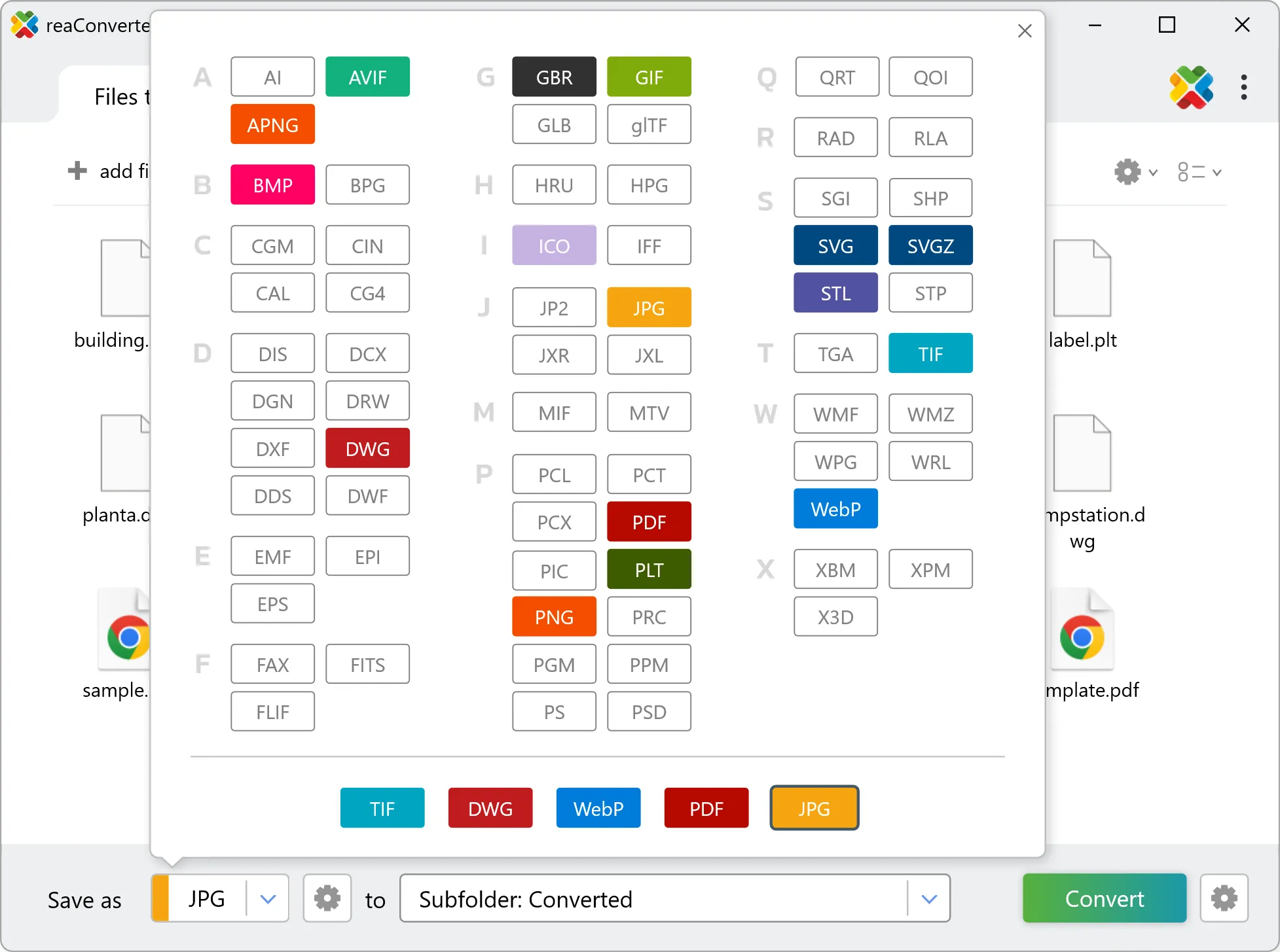
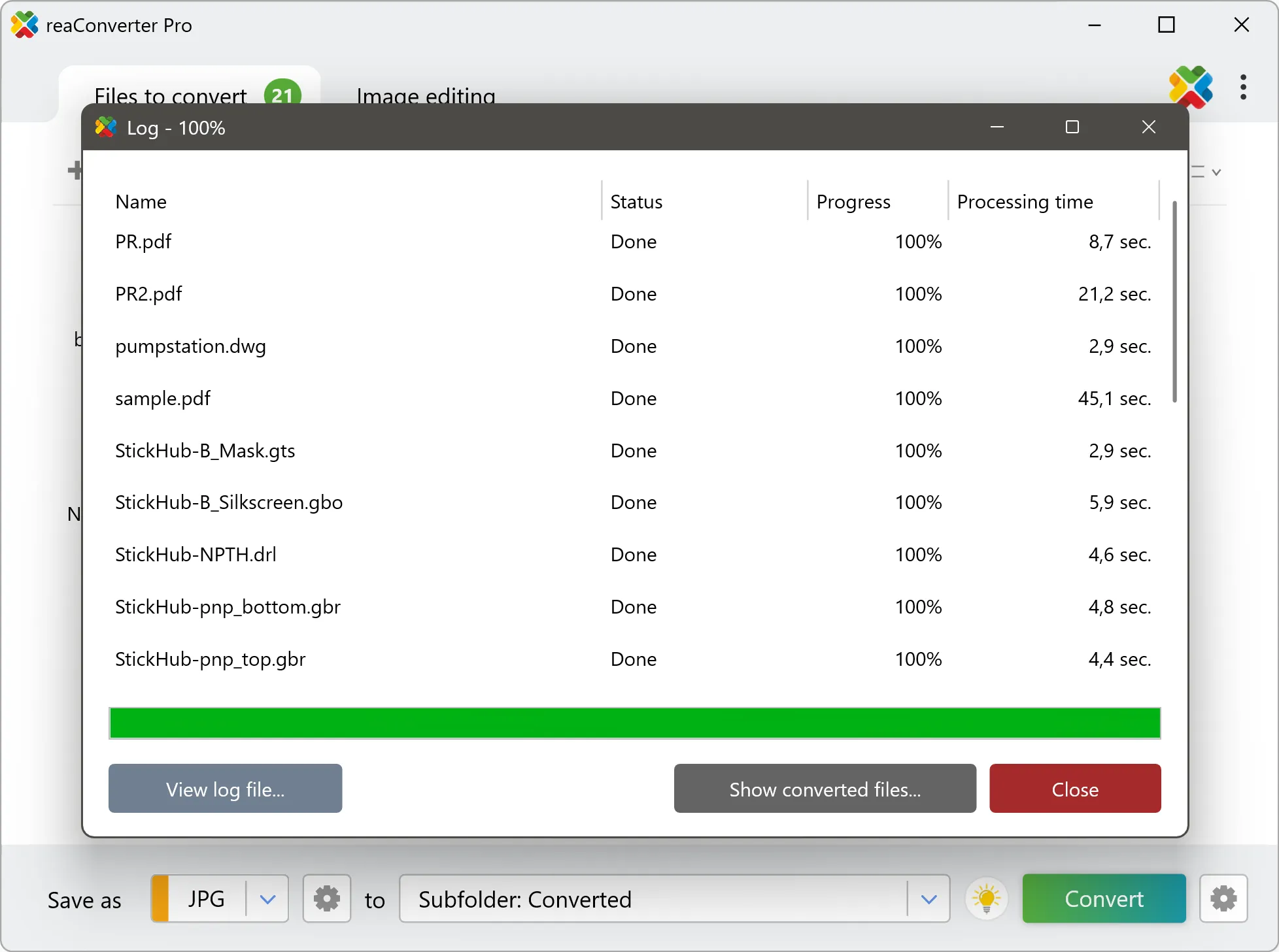
Yes! reaConverter instantly converts .geotiff to .drw with perfect quality preservation. With its batch processing feature, you can convert multiple files at once in just a few clicks. You can even convert images directly from Windows Explorer using the right-click menu — fast and convenient.
Can I convert GEOTIFF to DRW online?
If you only need to convert a few GEOTIFF files to DRW format, feel free to try our free online free online GEOTIFF to DRW converter — perfect for small batches with no installation needed!
How can I turn GEOTIFF files into DRW on my computer?
The best way to change GEOTIFFs to DRWs on your PC is to install a quality piece of software, such as reaConverter. This software is extremely efficient in managing a wide range of batch files conversions, including conversion from GEOTIFF to DRW.
How can I automate GEOTIFF to DRW files conversion?
reaConverter supports all the most useful automation features such as right-click сonversion and Watch Folders for the most efficient automated files conversion in any software of this type.
Is there a way to convert GEOTIFF files to DRW using the command prompt?
reaConverter provides full access to all its features via Windows command line, including a high-performance command-line geotiff to drw converter for batch processing.
What else can I do with reaConverter?
Change format settingsChange DPIConvert CAD formatsSet bit depthConvert Gerber files